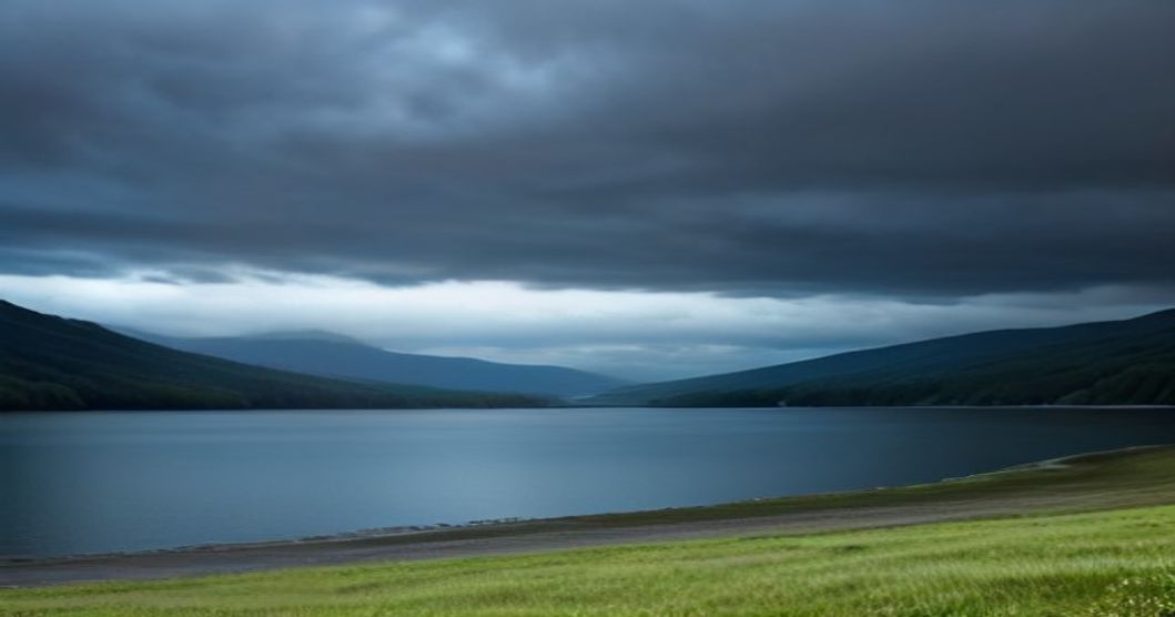
GRAND RAPIDS, Mich. (NYBreaking) — West Michigan faces a decisive atmospheric transition on Wednesday, Aug. 19, as chief meteorologist Kevin Craig projects shifting temperature patterns and scattered precipitation across the Grand Rapids metropolitan area and surrounding lakefront counties. The midweek outlook signals a break from earlier seasonal baselines, prompting local emergency managers and marine authorities to issue advisories for travelers along the Interstate 96 corridor and boating operators across Lake Michigan.
Key Takeaways
- Midweek Atmospheric Shift: Meteorologist Kevin Craig reports changing pressure systems impacting West Michigan throughout Wednesday, Aug. 19.
- Marine Advisories: Shoreline zones along Lake Michigan face elevated wave activity and shifting wind currents, impacting maritime travel.
- Agricultural & Regional Impact: Local growers and commuter networks prepare for intermittent precipitation and sharp dew point variations.
Meteorological Analysis: Pressure Systems and Temperature Gradients
The latest forecasting models for Wednesday indicate a complex interaction between a low-pressure trough descending from the Upper Peninsula and a warm, moist air mass advancing from the Midwest plain. According to Kevin Craig, this interaction will dictate regional cloud cover, local temperature ceilings, and the probability of convective rainfall throughout the afternoon and evening hours.
Morning conditions across Kent, Ottawa, and Muskegon counties are expected to begin under partially overcast skies, with early surface temperatures hovering in the mid-to-upper 60s Fahrenheit. As solar heating interacts with elevated humidity levels, surface temperatures are forecast to climb into the lower 80s by early afternoon, creating moderate atmospheric instability.
“What we are tracking on Wednesday is a subtle front moving through the regional corridor that compresses moisture right ahead of its boundary,” Craig noted in his meteorological briefing. “The primary driver will not be a massive thermal drop, but rather a fast-moving moisture flux capable of generating localized downpours and sudden wind shifts.”
Atmospheric soundings indicate that lapse rates will steepen after 2:00 PM EDT, boosting the likelihood of isolated shower development. While widespread severe weather remains unlikely, shortwave disturbances traveling along the jet stream could trigger organized thunderheads across Kalamazoo and Calhoun counties later in the day.
Microclimate Variations Across Kent and Ottawa Counties
The geographic variation across West Michigan creates distinct localized weather profiles on Wednesday. Inner-tier counties such as Kent, Montcalm, and Barry will experience higher peak temperatures due to continental warming, with thermal readings likely cresting at 83 degrees Fahrenheit. Dew points in these interior zones will linger around 65 degrees, resulting in noticeably muggy conditions during the afternoon commute.
Conversely, western coastal regions bordering Lake Michigan—including Grand Haven, Holland, and Muskegon—will experience a direct lake-moderating effect. Marine boundaries will suppress maximum inland temperatures by 4 to 6 degrees, keeping coastal communities near 77 to 79 degrees Fahrenheit. However, this temperature differential also strengthens local breeze boundaries, which can serve as a catalyst for narrow bands of rain just inland from the shoreline.
Lake Michigan Coastal Impact and Marine Outlook
For maritime operators, commercial shipping lines, and recreational boaters, Wednesday’s weather pattern introduces elevated marine hazards. The National Weather Service and regional forecasting desks have issued updated marine briefs emphasizing wind direction reversals as the cold front approaches Lake Michigan waters.
Initial morning winds out of the south-southwest at 10 to 15 knots are expected to shift northwesterly by late Wednesday afternoon, reaching gusts up to 22 knots. This shift will generate building wave heights along the West Michigan coastline, with offshore wave action rising from 1 to 3 feet in the morning to 3 to 5 feet by dusk.
Broader Midwest environmental patterns reported by Reuters highlight how Great Lakes surface temperatures remain elevated this late in the summer season, amplifying moisture evaporation and heightening the energy available for localized coastal rain bands.
“Boaters operating between South Haven and Pentwater must monitor radar continuously,” warned Captain Marcus Vance, a maritime safety officer based in Grand Haven. “Quick changes in wind vectors can turn smooth surface conditions into choppy, unpredictable waters within 30 to 45 minutes.”
Beach Hazard Assessments and Navigation Conditions
Municipal beach managers in Ottawa and Muskegon counties have placed public rescue equipment on alert. While red flags are not universally deployed across all beaches, the combination of shifting offshore winds and rising wave heights elevates the risk of longshore currents and localized rip currents near piers and breakwaters.
Swimmers are urged to exercise extreme caution at high-traffic coastal destinations, including Grand Haven State Park and Muskegon State Park. Water clarity is expected to decrease rapidly by late afternoon as bottom sediments are churned up by nearshore wave energy.
Agricultural and Transportation Infrastructure Contingencies
Beyond daily municipal routines, Wednesday’s weather forecast carries implications for West Michigan’s agricultural belt and regional transportation infrastructure. The Grand Rapids metropolitan zone, anchored by Interstate 96, US-131, and the I-196 corridor, experiences high volumes of freight traffic connecting Chicago and Detroit.
Michigan Department of Transportation (MDOT) crews have highlighted potential hydroplaning hazards during the evening rush hour. Sudden localized downpours associated with Craig’s forecasted convective showers can deposit up to half an inch of rain within a 20-minute window, exceeding the drainage capacity of older roadway segments.
In the agricultural sector, specialty crop producers across the Fruit Ridge region north of Grand Rapids are closely watching precipitation totals. According to briefings from the National Weather Service, field conditions require balanced moisture levels as early apple harvesting and late-season blueberry collection proceed.
“A short burst of rain is welcomed for soil moisture retention, but any prolonged high-humidity event increases disease pressure on ripening fruit,” explained Dr. Eleanor Brooks, an agricultural extension specialist focusing on West Michigan crops. “Growers are timing their spraying and harvesting schedules around the exact window Kevin Craig outlined for late Wednesday afternoon.”
Looking past Wednesday evening, the frontal passage will clear out residual atmospheric moisture, paving the way for cooler, drier air on Thursday and Friday. High temperatures on Thursday are projected to settle comfortably in the upper 70s under clear, sunny skies, bringing a brief period of atmospheric calm to the region heading into the weekend.