Victoria weather: Millions warned to bunker down for more summer storms and flash floods as rain clouds unleash 200mm deluge
Victorians are being told to batten down the hatches as summer thunderstorms threaten to dump massive rainfall and cause widespread flooding.
As the sun shone Saturday, Emergency Management Commissioner Rick Nugent warned that the state should expect a major rain event on Sunday and Monday.
“We will most likely get around 150mm of rain in total, but we could get more than 200mm of rain across the state,” he told reporters.
Emergency authorities are preparing for the worst rain scenario and have urged Victorians to do the same, especially if they live in flood-prone areas.
“Especially people staying in trailer parks and camping along creeks and along waterways,” Nugent said.
He said many of the state's rivers and creeks were already quite full from recent rain, making it very likely that the forecast storms could lead to flash flooding in those areas.
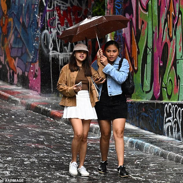
Victorians are being told to batten down the hatches as summer thunderstorms threaten to dump massive rainfall and cause widespread flooding
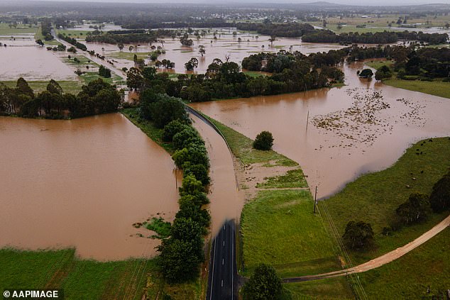

Emergency authorities are preparing for the worst rain scenario and have urged Victorians to do the same, especially if they live in flood-prone areas
“Falling tree branches and flash flooding are the biggest risk, and please don't drive through floodwaters – you're driving a car, not a boat,” Mr Nugent said.
“We don't want emergency responders to have to save people during this event.”
Thunderstorms are expected to develop in western Victoria on Sunday morning before moving through the central, northern, central and eastern parts of the state during the day and into Monday.
“It's not just a one-day event,” Bureau of Meteorology meteorologist Michael Efron said.
He said the low pressure would initially bring widespread showers and thunderstorms to the Mallee and Wimmera districts.
Some areas could receive as much as 60mm of rain in an hour, he said.
Widespread rainfall totals could reach 150mm in the central and northern parts of the state, and up to 200mm in the north and northeast.
More than a dozen watersheds have been issued minor to moderate flood warnings.
“The amount of moisture in the state right now is unbelievable,” Efron said.
“It's what you would normally see somewhere in Queensland.”
In September, the agency officially declared an El Nino climate pattern, which typically brings drier conditions to much of the country.
Mr Efron explained that other climate factors are influencing the current wave of storms in eastern Australia, including the Southern Annular Mode and above-average sea surface temperatures in the Tasman Sea.
“That easterly wind is bringing that moist air over Victoria,” he said.
“Anyone would have noticed the humidity, and I think we'll probably continue to see that for the rest of this month.”
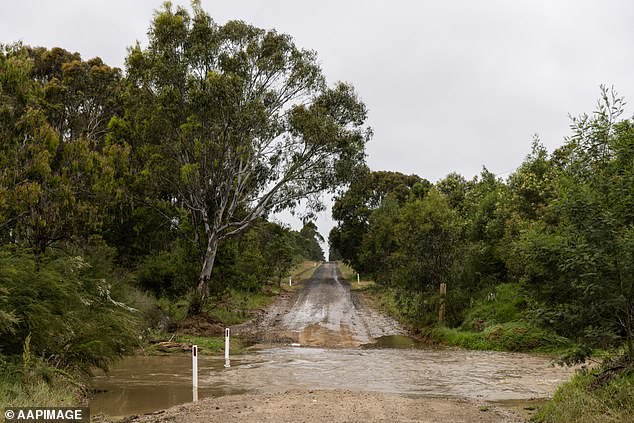

Emergency authorities are preparing for the worst rain scenario and have urged Victorians to do the same, especially if they live in flood-prone areas
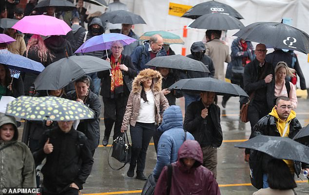

The flood risk would be highest in the state's north, but metropolitan Melbourne could face the same threat between midnight Sunday and Monday afternoon.
Victoria State Emergency Service Chief Operations Officer Tim Wiebusch said storm fronts with a “tropical moisture link” often lead to flash flooding and subsequent river flooding.
Mr Wiebusch said the flood risk was greatest in the state's north, but metropolitan Melbourne could face the same threat between midnight on Sunday and Monday afternoon.
“We are asking Victorians to prepare now,” he said.
'If you are staying or on holiday in the North East of the state or in the Loddon or Avoca regions, we ask that you heed the emergency warnings.
“We have already seen twenty flood rescues since the beginning of 2024, which is twenty too many.”
SES crews will set up sandbag collection points in high-risk locations including Bendigo, Castlemaine, Campbells Creek, Heathcote and Wedderburn from Sunday.
Mr Wiebusch said more sandbag sites would be set up.
