Sydney, Brisbane, Melbourne weather: Mega rain bomb detonates over east coast bringing flash floods and severe weather warnings, as ‘five-in-one’ lightning strike hits the city
A month’s worth of rain has devastated some parts of the east coast overnight, leading to flash flooding and evacuation warnings in Sydney’s south-west.
The rain bomb exploded over much of NSW on Thursday night, dumping more than 250mm of rain in parts of the Illawara and the state’s south-east.
In Sydney, where almost 60mm of rain fell in the past 24 hours, an incredible ‘five-in-one’ lightning strike occurred shortly after 8pm on Thursday, with two bolts appearing to hit the Harbor Bridge.
The NSW SES has received more than 450 calls since 6pm last night, with residents in the villages of Picton and Menangle, in Sydney’s south-west, told to prepare for a possible evacuation.
Rescuers will be knocking on doors in affected areas including Windsor, North Richmond, Hawkesbury and Nepean as they fear the Nepean River’s moderate flood level of 9.2 meters is expected to be breached on Friday morning.
In Sydney, where almost 60mm of rain fell in the past 24 hours, an incredible ‘five-in-one’ lightning strike struck shortly after 8pm on Thursday, with two bolts appearing to hit the Harbor Bridge (pictured)
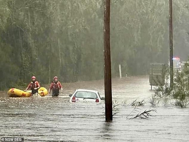
The rain bomb exploded over much of NSW on Thursday night, dumping more than 250mm of rain in parts of the Illawara and the state’s south-east (Photo: SES rescuers in action)
People in Shoalhaven Heads, on the state’s south coast, are also being told to prepare for a possible evacuation as more than 60 rescues have been carried out across the region.
Authorities advise people to closely monitor the rapidly changing situation.
WaterNSW also confirmed that Warragamba Dam began leaking from 4.20am on Friday morning.
With rain forecast well into the long weekend, it could be a while before NSW – as well as Perth and some parts of Victoria – get some respite from the wet weather.
BOM meteorologist Angus Hines said significant weather will hit both the east and west coasts of Australia as we close out the first week of winter, with some areas hit by a downpour of 250mm.
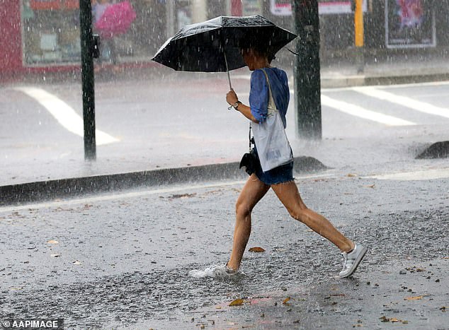
BOM meteorologist Angus Hines said significant weather will hit both the east and west coasts of Australia as we close out the first week of winter, with some areas hit by a downpour of 250mm
“The action that’s happening in terms of rainfall is happening in New South Wales, but also in far south-west WA,” he said.
‘The wet weather will start late on Thursday in both regions and it is expected to be quite wet on both edges of the country until Friday.’
Some areas in north-eastern Victoria will also experience heavy rainfall on Friday.
Mr Hines said more than 100mm of rainfall, if not more, is expected to hit the Illawarra region and the south coast over the three days.
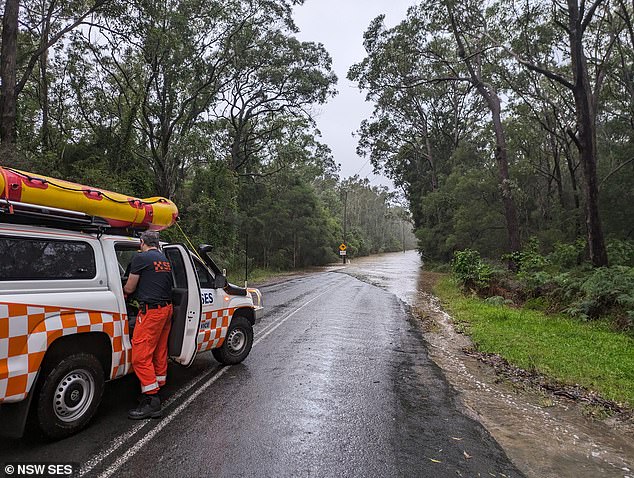
Authorities advise people to closely monitor the rapidly changing situation
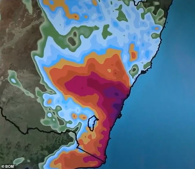
The Bureau of Meteorology said heavy rain will hit parts of Australia’s east and west coasts on Friday (Photo: Rain expected around 11am Friday on the NSW coast)
“A surface trough extending from the Illawarra region into the Tasman Sea will deepen on Thursday in response to a low over New South Wales,” the BOM website said.
‘Rainfall totals of between 100 and 150mm are likely, with isolated totals of 250mm possible.’
A flood warning has been issued for parts of Wollongong, Nowra, Bowral, Ulladulla, Taralga and Nerriga.
Rivers forecast for minor flooding include the Cooks River, Shoalhaven River, St Georges Basin, Moruya and Deua Rivers.
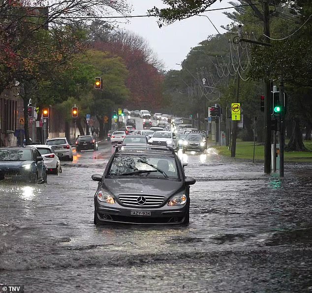
Sydney has already seen unusually heavy rain this week (photo is Moore Park)
Particular rivers under flood watch include the Upper Nepean River, Hawkesbury and Lower Nepean Rivers, Colo River, Georges and Woronora Rinvers due to moderate flooding.
In addition to rain, the Bureau has outlined cooler temperatures in most states.
But a reprieve from heavy rain is in sight.
‘(But) on Friday the low initially moves towards the coast, but then in the morning it makes a U-turn and starts moving away from land, meaning that in the second half of the day on Friday the rain will really start to fall. when the weather is clearer,” Mr. Hines said.
Severe weather warnings remain active between Oberon in the Central Plateau and the southern coastal town of Uladulla.
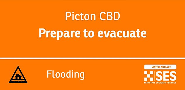
The NSW SES has received more than 450 calls since 6pm last night, with residents in the villages of Picton and Menangle, in Sydney’s south-west, told to prepare for a possible evacuation.
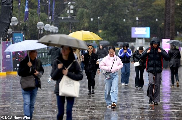
Melbourne and Perth will also be wet, but other capitals should avoid wet conditions
The agency predicts parts of the Illawarra district, areas of the south coast and southern parts of Sydney could receive more than 100mm of rain between Thursday and Sunday.
The warning came after the agency warned in May that Australia could be hit by the return of the La Nina weather pattern, which typically brings wetter than normal conditions to the east of the country.
There was a 50-50 chance that the weather system could form in the Pacific Ocean later in 2024, it said at the time.
In April, the agency announced an end to an El Nino weather event, which generally brings warmer and drier weather to the east of the country.
