‘Nightmare scenario’ as cyclone barrels towards Australia’s east coast – here’s where it’s set to hit
A severe tropical cyclone is expected to form in Australian waters tomorrow, but the Bureau of Meteorology said it is too early to say where it will cross the coast.
The tropical low is currently over the Solomon Islands in the Coral Sea – about 1,000 nautical miles northwest of Cairns – but is moving directly southeast towards Queensland.
Bureau senior forecaster Felim Hannify said the system is likely to develop into a tropical cyclone on Tuesday and intensify to a Category 3 later this week.
Your Weather Channel JCW on Facebook said weather models predict the cyclone could 'slide' down the coast and threaten land anywhere from Townsville to NSW.
“That was our nightmare scenario,” the page says.
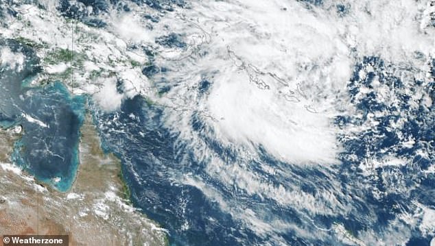
A tropical low forming off Australia's northeast coast could make landfall early next week, in what one weather group called a 'nightmare scenario'
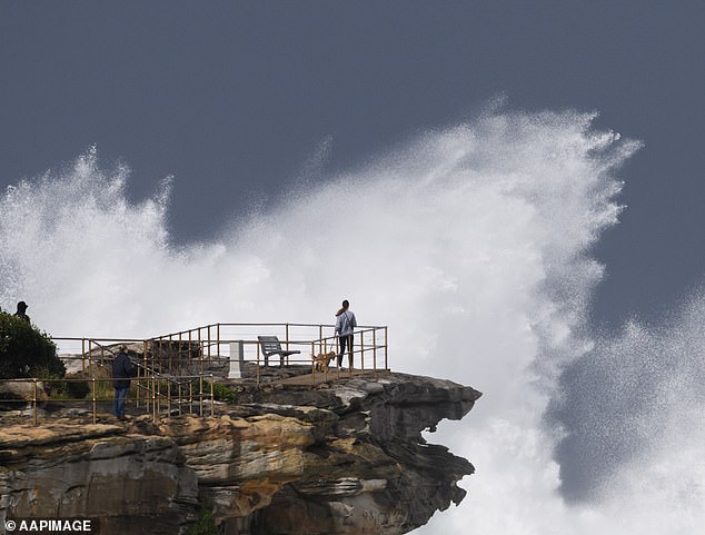
The cyclone developing in Australia's far north could bring monstrous surfing conditions
The amateur weather group said it predicted three likely paths the cyclone will follow.
The first is that the system will hit land near Cairns or Townsville and the second is that it could make landfall further south, near Gladstone or Bundaberg, early next week.
The third track the cyclone could follow is to remain out to sea but linger near the southeastern coast of Queensland.
“A majority of ensembles are holding well eastwards and away from the Queensland coast, although there are a few members pushing it westwards towards parts of the Queensland coast,” Mr Hannify said.
“Some of them are pushing it everywhere from Sydney to Cairns.”
Early Monday the low will move west into what is considered Australia's area of responsibility.
There is a good chance that the storm will develop into a tropical cyclone on Tuesday, which will then be located in the Solomon Sea.
The system will set up on Wednesday and Thursday through Friday and has a 90 percent chance of forming a tropical cyclone about 100 km west of Papua New Guinea's Sudest Island.
If it forms into a cyclone in the Australian area, it is called Cyclone Jasper.
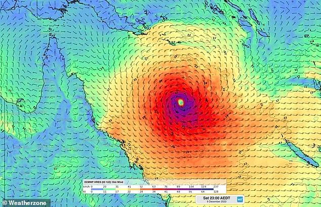
If it forms into a cyclone in Australian waters, it is called Cyclone Japser
The weather pattern increases the risk of severe thunderstorms in central parts of Queensland could bring large hail, damaging winds and heavy rainfall.
A severe heatwave warning remains in force for the far north and northeastern tropics.
A high-pressure system over the southern part of Australia will raise temperatures in major capital cities, with most of the storms seen over the past week disappearing.
In the outback regions of Western and Southern Australia, temperatures can reach as high as 45 degrees Celsius.
Adelaide in particular is expecting sweltering heat in the coming weeks.
Other major state capitals are seeing a dry start to the first full week of summer, with temperatures in the 20s to 30s.
Southern Australia is expected to get wet again by the end of the week
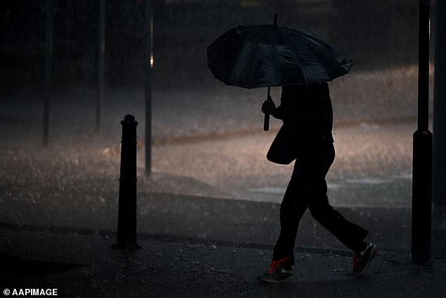
While the severe storms that hit the East Coast this week have passed, more rain will fall towards the end of the next seven days.
