Mysterious ‘ghost island’ is spotted by a NASA satellite – before vanishing entirely
The idea of a “ghost island” may sound like a concept from the latest episode of Scooby Doo.
But in the Caspian Sea it has become reality.
NASA satellites discovered a mysterious island, before watching it disappear completely.
The landmass formed off the coast of Azerbaijan after a mud volcano erupted in early 2023.
But by the end of 2024, it had almost eroded away.
According to NASA Earth Observatory, the island disappeared from view “like an apparition.”
“Powerful eruptions from the Kumani Bank mud volcano have produced similar transient islands several times since the first recorded eruption in 1861,” it explained.
“The object, also known as Chigil-Deniz, is located about 25 kilometers off the east coast of Azerbaijan.”
NASA’s Landsat 8 and 9 satellites captured images of the island on November 18, 2022 (left), February 14, 2023 (center), and December 25, 2024 (right)
NASA’s Landsat 8 and 9 satellites captured images of the island on November 18, 2022, February 14, 2023 and December 25, 2024.
In November, the volcano’s summit remained below the sea surface.
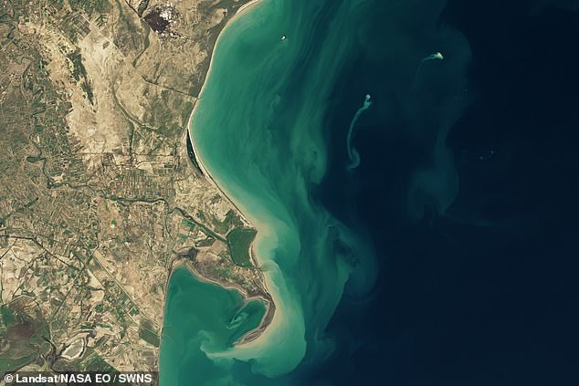
But according to images from February, the island had appeared and a plume of sediment was floating away from it.
According to Mark Tingay, a geologist at the University of Adelaide, additional satellite observations indicate the island was about 400 meters (1,300 feet) in diameter between January 30 and February 4.
However, by the end of 2024, the island had disappeared and a ‘greatly reduced’ part of the Kumani Bank remained visible above the water.
The volcano’s eight previous recorded eruptions occurred in bursts lasting less than two days, producing islands of varying size and longevity.
“An event in May 1861 resulted in an island only 270 feet (87 meters) wide and 11 feet (3.5 meters) above the water,” NASA said.
‘This was eroded away in early 1862.

In November, the volcano’s summit remained below the sea surface. But by February (pictured) the island had appeared and a plume of sediment was floating away from it

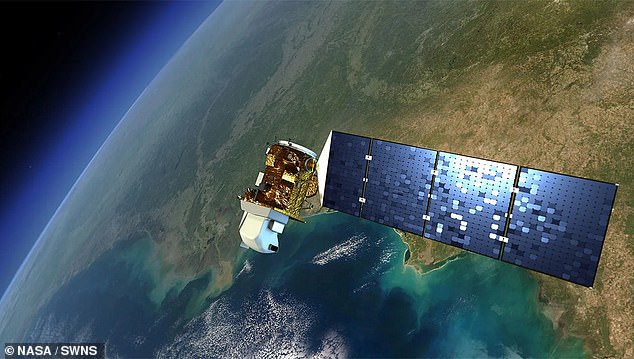
An artist’s impression of NASA’s Landsat 8 satellite, which took the photos of the ‘ghost island’
‘The strongest eruption, in 1950, created an island 700 meters wide and 6 meters high.’
Mr Tingay describes mud volcanoes as ‘weird and wonderful features’, but admits they are ‘largely understudied and little understood’.
Most mud volcanoes are found in areas of active tectonics – with Azerbaijan being unusual for its high concentration.
“Geologists have counted more than 300 in eastern Azerbaijan and off the coast of the Caspian Sea, most of which occur on land,” NASA said.
‘The region falls within a convergence zone where the Arabian and Eurasian tectonic plates collide.’
Worryingly, mud volcanoes can be potentially dangerous, thanks to their ability to expel large amounts of material – and even flames – in a short time.
“It is uncertain whether the 2023 Kumani Bank eruption was intense, but previous eruptions from this and other nearby mud volcanoes have sent towers of flames hundreds of feet into the air,” NASA added.
