More than 30million Americans in Northeast face new snow threat to start the week as up to 17 INCHES is set to wallop the region
Millions of people in the Northeast are facing a new winter weather threat as forecasts predict double-digit snowfall through Monday afternoon.
As temperatures drop across the country, a storm will move north along the East Coast, bringing the potential for winter precipitation.
Snow is expected to fall near and north of Interstate 80 from the Appalachians to Pennsylvania, covering much of New York State and central New England.
“Enough snow may fall to cause minor accumulation on unpaved surfaces, especially in areas outside the immediate New York City metro area,” AccuWeather meteorologist Dean DeVore said.
AccuWeather forecasters predict a high of 17 inches, mostly at higher elevations.
A storm rolling north along the East Coast is expected to bring snowfall and make travel difficult Monday morning (Photo: A person uses a snow blower to clear snow in front of a home in Methuen, Massachusetts on January 7)
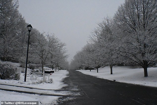
AccuWeather forecasters predict a maximum accumulation of 17 inches, especially at higher elevations (Photo: Suburbs outside Boston covered in snow)
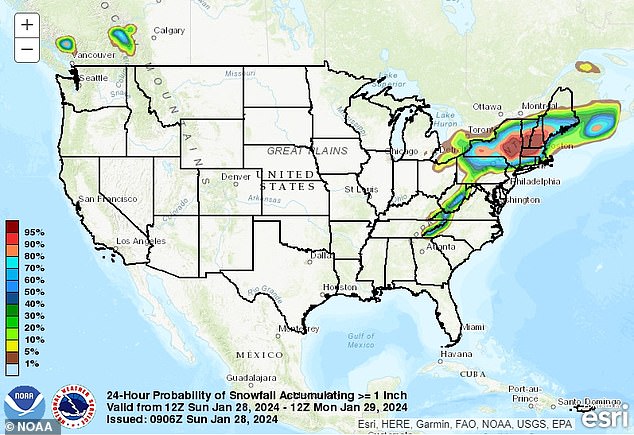
Pennsylvania, New York, New Hampshire, Vermont, Maine and Massachusetts are among the cities where accumulations could occur
Between 1 and 6 inches of snow is expected to fall outside of New York’s Catskills and Berkshires.
Scranton, PA; Albany, New York; Portsmouth, New Hampshire; Rutland, Vermont; Portland, Maine; and Boston are among the cities where accumulations could occur.
The National Weather Service has issued winter weather advisories and warnings for much of the Northeast.
Total accumulations between three and five inches are expected for parts of Cumberland and York counties in Maine, with coastal wind gusts up to 35 miles per hour.
Regions in Massachusetts, New York State and Vermont could record totals between four and eight inches.
In contrast to the powdery showers of recent weeks, local residents can expect wet, persistent precipitation. However, gusty winds in eastern New England could bring some snow.
Travel problems could be looming on the horizon as the NWS warns of a messy commute through Monday afternoon.
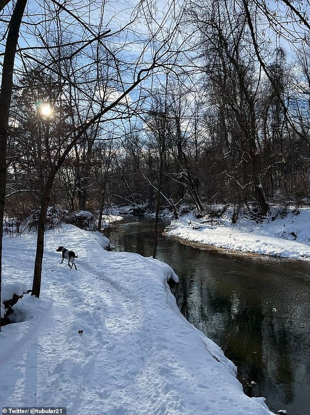
Snow is expected to fall near and north of Interstate 80 from the Appalachians to Pennsylvania (Photo: A dog walks through the snow in Pennsylvania)
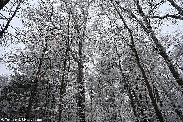
Regions in Massachusetts, New York State and Vermont could record totals between four and eight inches (photo: snow tree branches in Massachusetts)
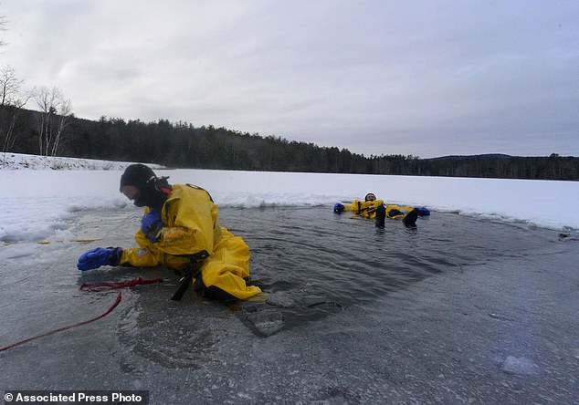
In contrast to the powdery showers of recent weeks, local residents can expect wet, persistent precipitation. However, gusty winds in eastern New England could lead to blowing snow (Photo: Firefighters practice cold water rescues in Bellows Falls, Vermont)
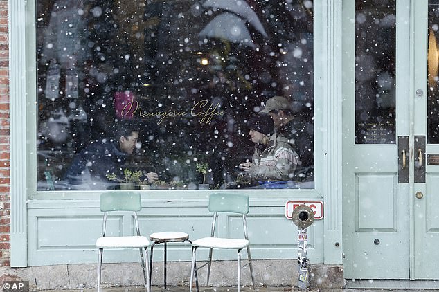
Rain and fog along Interstate 95 in the mid-Atlantic and Interstate 81 from central Pennsylvania and south may impact visibility (Photo: Customers in a snowy store in Philadelphia)
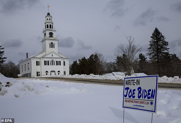
Travel problems may loom on the horizon as the NWS warns of a messy Monday afternoon commute (Photo: A New Hampshire polling place was the snowy headline of the primaries)
The agency is warning of reduced visibility and snow-covered roads in the Northeast.
In Pike County, Pennsylvania, snow accumulations of up to two inches and a light layer of ice could threaten travel Monday morning.
In addition, rain and fog along Interstate 95 in the mid-Atlantic and Interstate 81 from central Pennsylvania and southward could impact visibility through Sunday evening, DeVore said.
Motorists traveling through higher elevations in the Poconos, Alleghenies, Catskills and Berkshires should use caution Sunday afternoon through early Monday.
Even in lower terrain, bridges and overpasses may show some mud build-up.
Flights may be delayed through Sunday evening as planes parked at major or regional hubs on the East Coast may need to be defrosted before early Monday morning.
Other types of adverse weather conditions, including flooding, are possible as heavy rain builds on top of the snow and the ice melts.
Allegheny County, Pennsylvania, is under an advisory through Thursday afternoon as runoff from recent rainfall continues to cause elevated levels along the Ohio River near Pittsburgh.
