Kansas City residents are warned to shelter inside as heart-stopping video shows massive tornado touching down and softball-sized hail raining down on the region
Kansas City residents have been warned to take shelter indoors as a dangerous storm with damaging winds brought baseball-sized hail to the area.
Heartbreaking videos emerging from the Kansas City metro area capture softball-sized hail as the tornado touched down in north-central Kansas.
The National Weather Service issued multiple warnings Wednesday evening to warn residents of the severe thunderstorm expected to hit the region.
“Severe Thunderstorm Warning including Kansas City MO, Kansas City KS and Liberty MO until 9:00 PM CDT. This destructive storm will contain large apple-sized hail!” the NWS Kansas City office wrote in one of the social media posts.
Mayor Quinton Lucas shared storm video recorded south of Alta Vista, Kansas, writing, “The storm is moving toward Kansas City and surrounding areas. Be safe!
Kansas City residents have been warned to take shelter indoors as a dangerous storm with damaging winds brought baseball-sized hail to the area
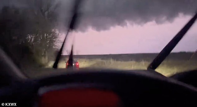
The National Weather Service issued multiple warnings Wednesday evening warning residents of the severe thunderstorm expected to sweep across the region
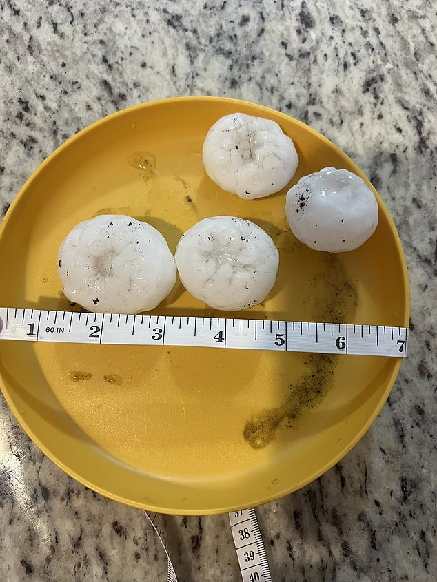
Heartbreaking videos emerging from across the Kansas City metro area capture softball-sized hail as the tornado touched down in north-central Kansas
The devastating storm, with winds of 60 to 75 miles per hour, is expected to continue overnight and develop again Thursday afternoon, according to reports. the Kansas City star.
Dozens of counties in Kansas and Missouri remain under Tornado Watch until 1 a.m. local time, according to the NWS.
Heavy rains accompanied by multiple damaging storms could also lead to flash flooding, the weather service said.
“Even in drought conditions, rapid rainfall can lead to flash flooding,” the agency wrote.
The thunderstorms developed sometime between 5 and 7 p.m. Wednesday, growing rapidly and soon spreading from north-central and northeastern Kansas into the Kansas City area.
By 10 p.m., residents across the state had taken to social media to share images of the large hail the thunderstorms produced in their backyards, on rooftops and in vehicles.
Some social media users also shared videos of broken windows and roofs of houses.
Shawnee resident Cathy Rocco reported seeing a huge hailstone fall in her backyard, saying, “I saw this bounce in my backyard and had to run outside to get it.”
Even experienced storm chasers were shocked by the size of the cone tornadoes in the area, as Kannon Kalton wrote, “This storm was a BEAST!”
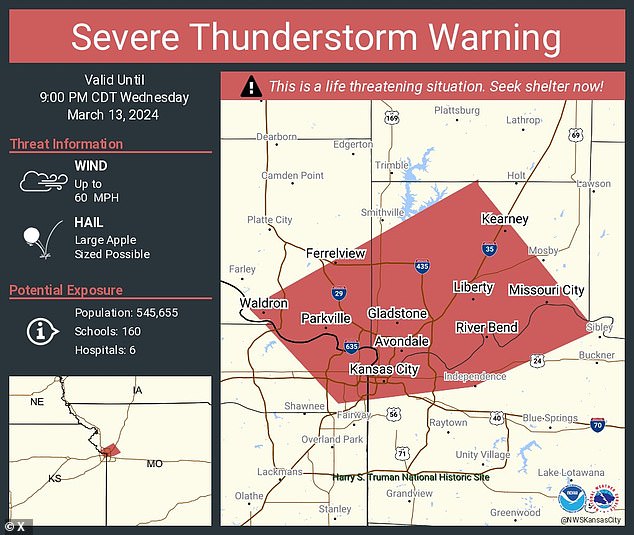
According to the Kansas City Star, the destructive storm, with winds of 60 to 75 miles per hour, is expected to continue overnight and redevelop Thursday afternoon.
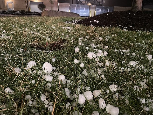
By 10 p.m., residents across the state had taken to social media to share images of the large hail the thunderstorms produced in their backyards, on rooftops and in vehicles.
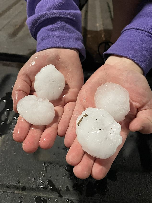
The thunderstorms developed sometime between 5:00 PM and 7:00 PM on Wednesday, growing rapidly and soon spreading from north-central and northeastern Kansas into the Kansas City area.
“It still appears that the greatest concentration of severe risks will be in northeastern Kansas and northwest Missouri, within the ‘Enhanced’ Risk.” the Storm Prediction Center said.
“But eastward adjustments with increased risk have been implemented in eastern Missouri,” the center added.
Frequent lightning, small hail, gusty winds and very heavy rain are expected overnight as the storms continue.
FOX meteorologist Warren Sears explained that the activity started off super isolated, but the storms quickly gained strength. “The serious risk to the Kansas City metro should diminish as you go to bed.
‘As the warm front moves further north, it will provide sufficient moisture to the atmosphere. This means that any isolated supercells will continue to grow into a line across northern Missouri by late evening,” he wrote.
“Those in northern Missouri should be aware of some flash flooding as we head into the night. That part of the state could see an inch or two of rain.”
