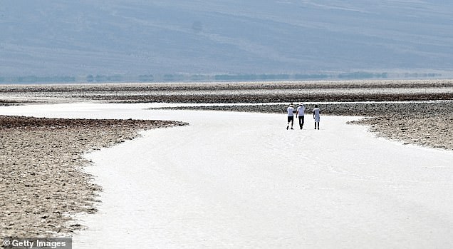
Death Valley comes to life: ‘Once in a lifetime’ storms create temporary LAKE at California hot spot with one now deep enough to kayak in
- The Badwater Basin, which lies at the bottom of Death Valley, has received 5 inches of rain in the past six months, creating Lake Manly
- The new lake is about ten kilometers long, five kilometers wide and thirty centimeters deep
- Park officials have advised visitors to stay safe and asked people to walk on established trails
Californians can now kayak in the driest place in the US after a rare and temporary lake formed due to heavy rainfall.
The Badwater Basin, which lies at the bottom of Death Valley, has received 5 inches of rain in the past six months, creating a lake in the bottom.
The newly formed lake is informally known as Lake Manly and is approximately six miles long, three miles wide and a foot deep.
According to Death Valley National Park, Hurricane Hilary’s 2.5 inches of rain in 2023 and 1.5 inches of rain during an atmospheric river run from February 4 to 7 caused the basin to fill.
On average, Death Valley receives about two inches of rain each year.
The Badwater Basin, which sits at the bottom of Death Valley, has received 5 inches of rain in the past six months – which is more than double the amount of average precipitation the Valley receives annually
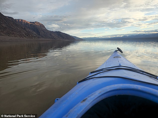
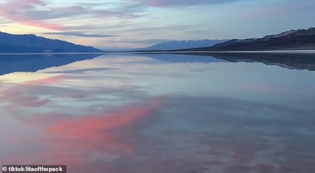
The lake is only deep enough for kayaking for a few weeks, but park rangers believe the shallow lake will still provide beautiful reflections through April
The newly formed lake is informally known as Lake Manly and is approximately six miles long, five miles wide and a foot deep
The lake is only deep enough for kayaking for a few weeks, but park rangers believe the shallow water will still provide beautiful reflections through April.
Videos show that visitors can walk a few inches through the lake and touch the basin.
Park ranger Abby Wines said: ‘You might think that Death Valley, with no outlet to the sea, would always have a lake.
‘But this is an extremely rare event. Normally the amount of incoming water is much smaller than the evaporation rate.
‘The lake was deep enough for kayaking for a few weeks after Hurricane Hilary, but unfortunately people couldn’t come and enjoy it then.
‘Every road in the park was damaged by flash flooding, and it took two months to open the first road into the park. Now most of the main roads are open, so it’s a good time to drop by!’
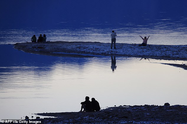
Lake Manly takes its name from an ancient lake of the same name that evaporated tens of thousands of years ago
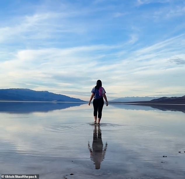
Videos show that visitors can walk a few inches through the lake and touch the basin
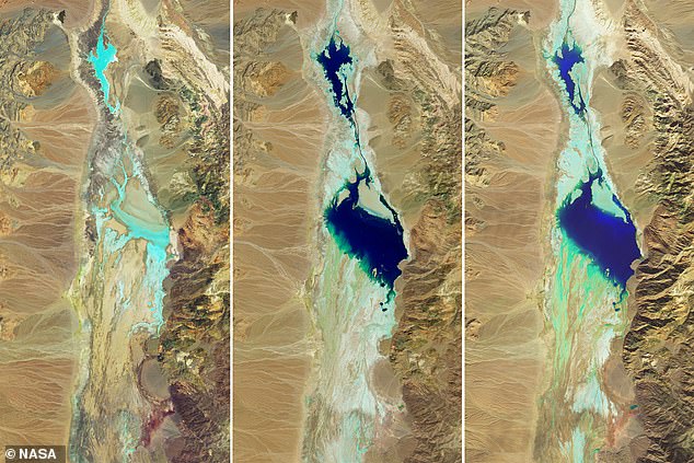
Images released by NASA, which have false colors to ’emphasize the presence of water in shades of blue’, show the transformation of the area between July 5, 2023 and February 14, 2024
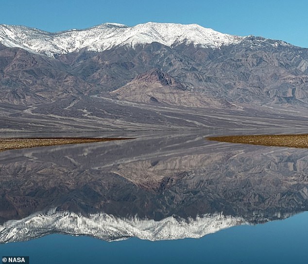
The dry salt flat basin is located 85 meters below sea level, making it the lowest point in North America
Images released by NASA, which have false colors to ’emphasize the presence of water in shades of blue’, show the transformation of the area between July 5, 2023 and February 14, 2024.
The dry salt flat basin is located 85 meters below sea level, making it the lowest point in North America.
Park officials have advised visitors to stay safe and asked Frpeople to walk on established paths.
According to SFGate, Lake Manly gets its name from an ancient lake of the same name that evaporated tens of thousands of years ago.
Before 2023, the lake was last seen in 2005.

