Queensland cyclone: Storm forming off Australia’s coast intensifies – here’s the weather forecast in your city
Large parts of Australia are on high alert for a tropical cyclone developing off the east coast, just weeks after catastrophic storms battered the region.
The Bureau of Meteorology released an update on Tropical Low 05U on Thursday, stating there is now a 75 per cent chance of the weather system developing into a cyclone and affecting North Queensland.
The tropical low formation in the Coral Sea is expected to strengthen significantly this weekend, before moving south and reaching the coast sometime next week.
There is a 75 percent chance that Tropical Low 05U will become a tropical cyclone on Monday (photo radar of Tropical Low 05U)
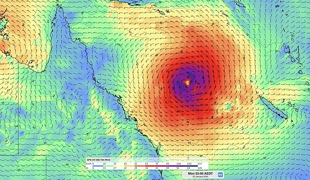
Pictured: Weather map of the tropical low developing in the Coral Sea
“Uncertainty remains high with the movement of this system, a coastal crossing remains possible,” the Bureau said on Thursday.
“The low will move slowly initially and then move on a general southerly track Sunday through Tuesday.”
The Bureau has warned locals to remain on high alert as millions of residents may be affected by the wild weather.
“There is a significant risk that this system could impact the Queensland coast from Tuesday next week,” the report said.
‘A serious impact is possible.’
The looming threat comes as thousands of Queenslanders are still recovering from the aftermath of ex-tropical Cyclone Jasper in late December.
The severe weather damaged dozens of communities, leaving tens of thousands without power.
Shocking images showed towns inundated by floods, leaving locals without access to roads and other infrastructure, leading to hundreds of local residents being evacuated by emergency services.
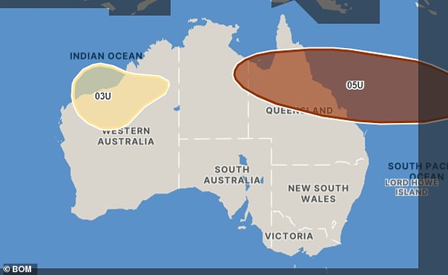
Tropical Low 05U will strengthen on Tuesday and Wednesday before reaching parts of the Queensland coast (photo, map of the cyclone set to hit Queensland next week)
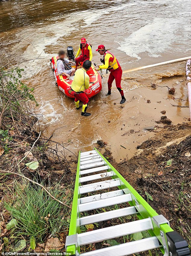
The looming threat comes as thousands of Queenslanders are still recovering from the aftermath of ex-tropical Cyclone Jasper in late December.
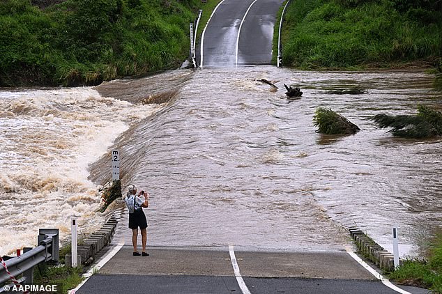
The ex-tropical cyclone brought severe wet weather that devastated dozens of communities with thunderstorms and heavy rainfall, flooding several areas (photo, floodwaters on a Queensland road)
Flood warnings have been issued for several rivers in northern Queensland, while flood warnings have also been issued for the Cape York Peninsula and the Gulf of Carpentaria.
Heavy rains will drench several communities in the area. Showers and thunderstorms are expected over the next few days as wet weather brought on by a monsoon trough sets in.
Parts of north Queensland recorded a rainfall total of 130mm on Thursday.
Communities along the state’s east coast have been advised to keep abreast of the latest weather forecasts and warnings.
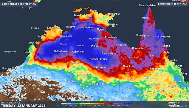
Parts of North Queensland will be drenched in heavy rainfall, with a monsoon trough bringing showers and thunderstorms that will last for several days before a tropical cyclone arrives (pictured, parts of Queensland and Northern Australia will be flooded to stand). heavy rain)
