Britain gripped by ‘anticyclonic gloom’: weather phenomenon of fog and gray clouds means sun could be blotted out for another ten days
Britain is in the grip of ‘anti-cyclonic gloom’ as the weather has been stuck in a rut of fog, mist and low cloud for weeks – and there is no sunshine on the horizon.
Much of England and Wales has not had any significant rainfall other than some drizzle since October 28, although Scotland saw its last rainfall this weekend.
And the last day of widespread sunshine across Britain was October 27, although a few weather stations recorded several hours of brightness over Halloween.
The Met Office is predicting no significant sunshine for most parts of the country over the next few days, although there is a chance of sunny spells next Monday.
Britain’s weather is dominated by high pressure, or an anticyclone, which blocks fronts that bring rain and result in a prolonged dry spell.
While such an arrangement often leads to warm and sunny days with light winds in the summer months, in autumn and winter it can result in ‘anticyclonic gloom’.
The Met Office has confirmed that Britain is experiencing such a phenomenon this week, with high pressure trapping an area of moisture near the Earth’s surface.
Low clouds, mist and fog are then formed by this moisture, which cannot lift and dissipate because the sunshine and wind are light – causing the dull conditions.
Another foggy day in London yesterday, as a woman walks along the River Thames
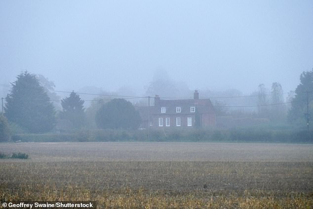
Yesterday a house in the village of Dunsden in Oxfordshire next to fields was covered in darkness
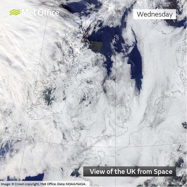
As high pressure persists, low clouds thicken again overnight as temperatures drop and moisture condenses – which can also lead to poorer air quality in cities as pollutants build up.
Such bleak conditions were once called “like living in Tupperware” by travel writer Bill Bryson. He also wrote: ‘Sometimes it rained, but most of the time it was just dull, a land without shadows.’
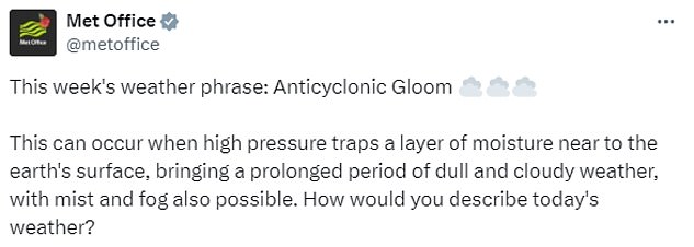
In a social media post on Monday, the Met Office said: ‘This week’s disgust: Anti-cyclonic gloom.
‘This can happen when high pressure traps a layer of moisture close to the Earth’s surface, causing a prolonged period of dull and cloudy weather, which can also include haze and fog. How would you describe today’s weather?’
One user replied: ‘I mean the lack of wind and rain is great, but the heavy, gloomy sky, my God, is so depressing. It’s been the same for a whole week and your prediction is the same this week too. Just terrible, almost claustrophobic.’
Someone else said: ‘I’ve been feeling that claustrophobia for a few days. I never thought not being able to see the sky for so long would have that effect.”
A third tweeted: ‘We’re having a summer with little or no anti-cyclonic weather and when we do it’s in November and depressingly boring.’
Anticyclonic gloom, also called a “dirty high” by meteorologists, typically disappears after a week, but this particular episode can last for two weeks.
And the Met Office released an update early this week, meaning the gloom could last until November 18.
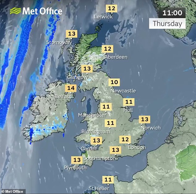
According to the Met Office forecast, conditions will be mainly cloudy today with hill fog and odd drizzle, although there may be sunshine in the north of Scotland.
Tomorrow will be a mostly cloudy and dry day, slightly cooler than today, and with the best chance of clearness towards the north and west.

Foggy weather at St Michael’s Tower on top of Glastonbury Tor in Somerset last Friday
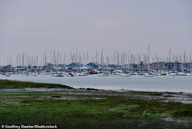
A gloomy day in Warsash in Hampshire on Monday as gloomy conditions continue
The Met Office published a ten-day trend forecast yesterday, with the caption reading: ‘Will we ever see the sun again? It’s been a dull start to November, but could a shift in the printing pattern point to something better?’
Forecaster Alex Deakin said in the video: ‘Pressure remains quite high and as a result the weather will remain largely dry, but the position and shape of the high pressure will determine what flavor weather we will have over the next week or so.
He added that the jet stream was “high in the air and moving well north of Britain and arcing over much of northern Europe, allowing a large area of high pressure to dominate over most of mainland Europe ‘.
Mr Deakin continued: ‘Over the coming days we will see another center of the high ground developing just to the east of Britain, keeping the weather fronts at bay and meaning it will remain largely dry.’
He explained how the winds were ‘turning clockwise around high pressure’, continuing to blow air up from the south – so ‘relatively mild air and relatively moist air – and, trapped under the high pressure, as you will have noticed , there’s a lot of clouds there’.
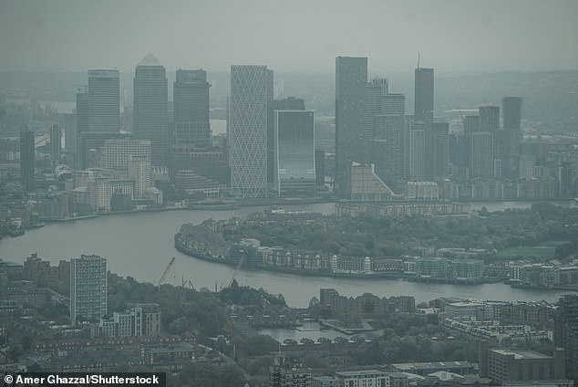
Gloomy weather in London last Friday, as seen in the Canaray Wharf skyline
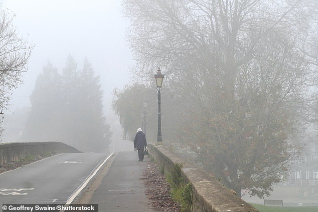
A pedestrian walks through foggy weather in Wallingford, Oxfordshire, last Thursday
Mr Deakin said: ‘We won’t see much change over the next few days – it will remain quite dull and dry in most places.’
Looking further ahead, he said: ‘Through the weekend we still have high pressure to the east of us and the jet stream moving well to the north.
‘But in the Atlantic Ocean things are changing: the jet stream is coming more from east to west and is trying to bring some weather fronts towards us. The first few will fizzle out, bringing some more clouds and a few spots of rain to the west.
‘But it looks like the jet stream will pick up an area of low pressure, but instead of sending it whizzing over Britain it will push it northwards.
‘However, this weather front may bring some more rain as it moves through the country in the second half of the weekend.
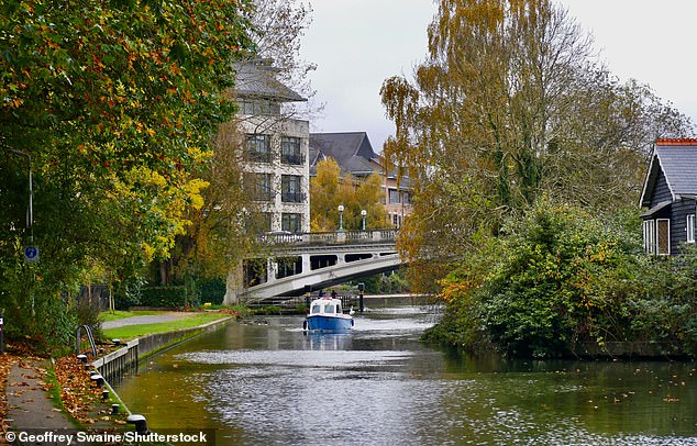
A cloudy afternoon on the River Thames at Caversham in Reading, Berkshire, on Saturday
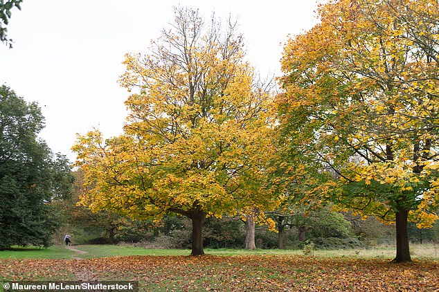
A gloomy day despite the autumn colors in Osterley Park in West London last Thursday
“But that weather front won’t produce a huge amount of rain, and certainly the ones before it will produce very little rain.”
He said high pressure will then build again over Sunday and Monday and dominate the weather early next week.
Mr Deakin also said the maps suggested high pressure “will continue to dominate throughout next week”, although the position of this high was “critical for the type of weather we see to the east of us”.
He also said there won’t be as much moisture in the air early next week, and there’s a better chance of “actually seeing blue skies instead of gray skies, so probably some sunshine early next week, especially on Monday’.

The last day of widespread sunshine in Britain was October 27, when these women were pictured in the water at Cayton Bay in Scarborough, North Yorkshire.
In the Met Office’s forecast for November 11 to 20, the forecaster says: ‘There will be plenty of dry, calm weather early next week as high pressure builds across Britain.
‘After a bright start, however, cloudy conditions will develop by mid-week, with occasional drizzle. Some fog is also possible, which disappears slowly.
‘Later next week it seems to become more restless for a while, with some rain or showers, especially in the east. After a possible short drier period next weekend, it may become largely unsettled the following week.
‘Winds will be mainly light in many places early next week, but windier conditions look likely to develop from later next week. Temperatures will initially be around or slightly above average, but will tend to drop slightly below average later on.”
