‘Atmospheric Rivers’ to bring gusts and up to ten inches in RAIN to parts of West Coast with mountains expected to see up to three FEET of snow
A series of successive atmospheric rivers will bring intense wind gusts and up to 10 inches of rain to parts of the west coast – with persistent storms expected until Wednesday.
More than half a dozen states are under winter weather warnings as the atmospheric river brings up to 12 inches of snow and rain to Idaho, Wyoming, Colorado, Northwestern California and Utah.
The heaviest rainfall will likely occur in western Washington state.
Another atmospheric river will add to the 48 inches of snow already on the area's mountains – and in Wyoming, winds of up to 60 miles per hour are expected in some areas.
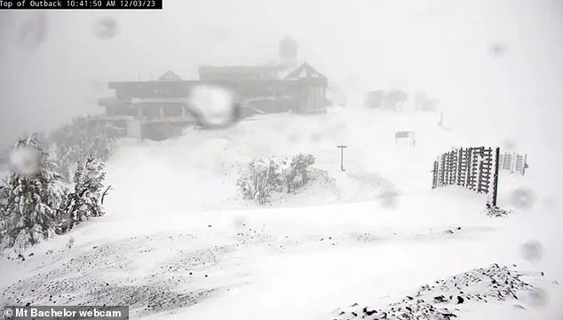
A series of successive atmospheric rivers will bring intense wind gusts and up to 10 inches of rain to parts of the West Coast
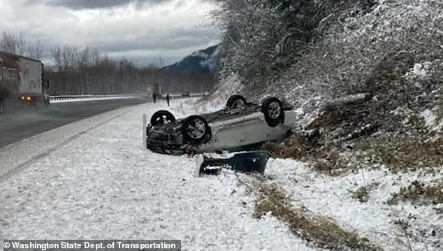
More than half a dozen states are under winter weather warnings as the atmospheric river brings up to 12 inches of snow and rain to Idaho, Wyoming, Colorado, Northwestern California and Utah.
The predicted Flood is the result of a weather phenomenon known as an atmospheric river, a band of water vapor that can stretch up to 1,000 miles (1,600 kilometers) long and 350 miles (560 kilometers) wide.
As moisture moves inland from the tropics to higher latitudes, it can bring extreme snow and rainfall, as well as the possibility of flooding.
The National Weather Service office in Portland, Oregon, warned: “Flooding caused by excessive rainfall is possible for all locations west of the Cascades through next week.
'People in flood-prone areas must be prepared to take action if flooding occurs. Please keep an eye on the latest weather forecast and be alert to possible flood warnings.'
Meanwhile, areas near Seattle have been warned that avalanches could occur if the storm continues.
This includes Stevens and Snoqualmie passes, the West Slopes of the southern Washington Cascades and Mt Hood.
The National Weather Service Prediction Center said, “This will allow milder air to flow into western Oregon and Washington, making rain the dominant precipitation type.
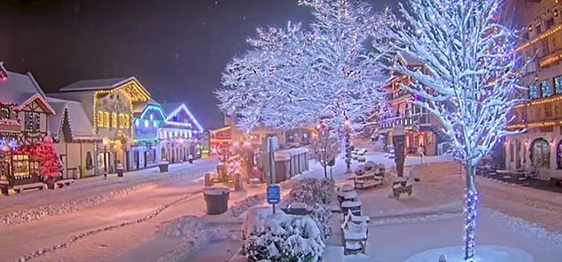
Snow has already hit parts of Washington, turning the landscape into a winter wonderland
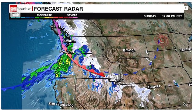
“The Winter Storm Severity Index (WSSI) shows that major impacts are possible at the highest elevations of the Pacific Northwest and the Rockies, likely causing hazardous to impossible travel conditions in these affected areas.
'Given the increased rainfall over the weekend, soils will be more vulnerable and therefore the risk of greater run-off and flooding.
“Initially, snow levels are expected to be quite high, and therefore the west-facing slopes of the Cascades may be subject to additional risk of flooding due to snowmelt.”
Chad Hecht, a meteorologist at UC San Diego's Center for Western Weather and Water Extremes, told CNN: “In scenarios where we see multiple atmospheric rivers flowing ashore in the form of a family, the hydrological consequences are often exacerbated by the lack of time for rivers and soils to return to baseline.”
In early November, the first snow of the season froze the Rocky Mountains, the Great Lakes, and New England, resulting in the most extensive early November snow cover in at least two decades.
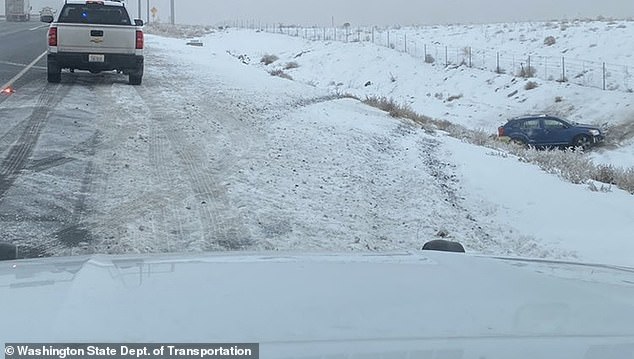
Meanwhile, areas near Seattle have been warned that avalanches could occur if the storm continues
Snow was on the ground in 17.9 percent of the contiguous United States, according to the National Oceanic and Atmospheric Administration.
At the same time last year, snow covered only 3.4 percent of the area. The 20-year average snow cover over the Lower 48 on November 1 is 5.5 percent.
“There have been 2,700 local storm reports of ice or snow in the past week,” AccuWeather meteorologist and social media producer Jesse Ferrell said Wednesday.
Trick-or-treaters from Minnesota to New York saw snow on Halloween, and plenty to shovel in in cities like Minneapolis, where between five and four inches of snow fell.
