At least 100MILLION in path of severe storms bringing ‘significant risk’ to lives and property as hail and 70mph winds move across the US
- At least 100 million people are at risk of severe storms
- Last weekend the winds raged through Iowa and Missouri
- On Monday, Kansas experienced intense hail storms, Texas saw hazy dust storms and dark storm clouds consumed Oklahoma
At least 100 million people are at risk of severe storms in the coming days that could pose “significant risks” to lives and property across the country.
The onset of severe weather began over the weekend when parts of Iowa and Missouri experienced large hail and 70 mph winds that then spread into southwestern Pennsylvania and northern West Virginia.
On Monday, Kansas experienced intense hail storms, Texas saw hazy dust storms and dark storm clouds consumed Oklahoma.
Severe weather, including severe thunderstorms and golf ball-sized hail, is expected to occur Monday night through Tuesday night in western and northern Georgia, the Carolinas and Virginia.
Days of intense weather are forecast to continue through Wednesday, with the threat becoming more concentrated on the Mid-Atlantic coastal region and bringing heavy winds and rain that could lead to flooding on local streets and highways.
At least 100 million people are at risk of severe storms in the coming days that could pose “significant risks” to lives and property in the US.

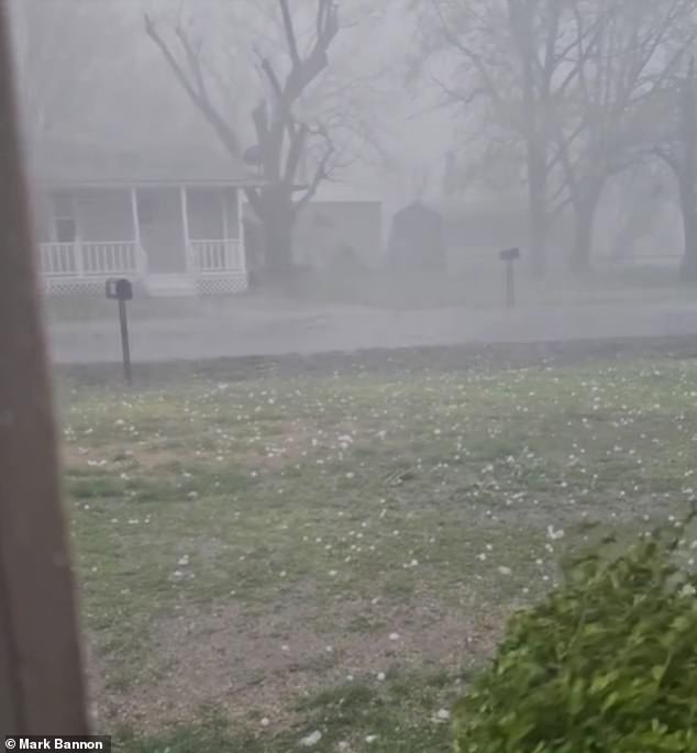
The hail was caught by a resident of Caney, Kansas, as large white chunks were thrown across a yard. Heavy winds also caused the mix of rain and hail to drift through the air and roads

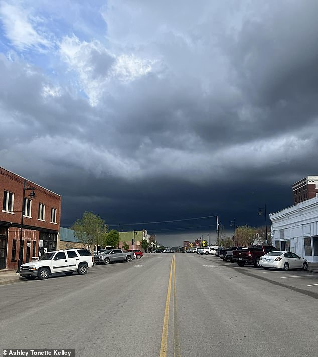
Another person from Oklahoma posted dark and dreary storm clouds covering almost the entire sky Monday evening
AccuWeather Meteorologist Matt Benz said, “Within the northern portion of the zone, which includes part of the Midwest, more than one severe thunderstorm could directly impact some communities.”
Video of hail falling was captured by a resident of Caney, Kansas, as large, white pieces were thrown across a yard.
Strong winds also caused the mix of rain and hail to drift through the air and roads.
Other state residents showed off just how massive the buckshot pieces were when a large piece with pointed sides was depicted in the palm of a hand.
More patches were seen along a surface, while a yellow measuring tape indicated the size of the frozen rain grains.
Another person from Oklahoma posted dark and gloomy storm clouds covering almost the entire Monday evening sky.
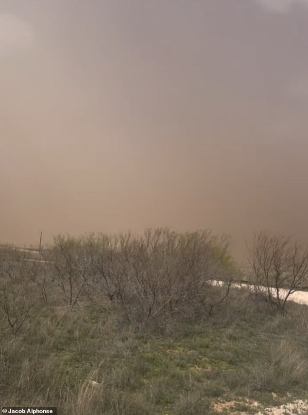
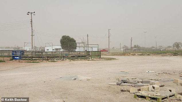
In Texas, a raging dust storm took over the land, turning the sky an ominous shade of red and gray, with only a few white clouds visible in the distance. Another photo showed dust taking over a baseball field with the same dark sky in the background.

In Texas, a raging dust storm took over the land, turning the sky an ominous shade of red and gray, with only a few white clouds visible in the distance

Other Kansas residents showed how massive the buckshot pieces were when a large piece with pointed sides was seen in the palm of one hand

Another photo showed dust taking over a baseball field with the same dark sky in the background
A range of more intense weather is expected across the Ohio and Tennessee Valley region and the Southeast on Tuesday, according to the National Weather Service Prediction Center.
Forecast thunderstorms could hit a 1,500-mile swath Monday evening, along with tornado risks, extreme winds, hail and flash flooding.
The bad weather could also lead to hazardous travel conditions, delays and risks to property from downed trees and power lines.
Residents in the areas are reminded to keep devices charged and close by to receive important storm warnings to prevent life-threatening incidents while sleeping.
There is also the chance of a slew of flight delays and even cancellations if the powerful storms continue.
