Sydney, Melbourne, Brisbane weather: More rain on the way, when it will strike
Warmer than average sea temperatures off the Australian coast will lead to severe thunderstorms and possible flooding in eastern Australia.
A broad low-pressure system over southern inland New South Wales began drifting southeast on Tuesday, bringing thunderstorms to Victoria and the Australian Capital Territory.
However, a second low will bring even more rain on Wednesday.
‘A second low-pressure center is expected to develop off the southern NSW coastline sometime on Wednesday morning, bringing a stream of moisture-laden winds across south-eastern NSW and eastern Victoria,’ Weather zone said meteorologist Ben Domensino.
“This onshore flow will draw moisture from the ‘warm blob’ east of Bass Strait, likely increasing rainfall.”
‘Rain should increase during Wednesday morning as low temperatures develop and showers continue into Thursday in some areas.
‘Rainfall after 6am could reach 50 to 150mm on Wednesday morning and accumulated totals could exceed 200mm by the end of Thursday.’
A ‘puddle’ of warm water off the southeast coast will bring heavy rain to New South Wales, Victoria and the Australian Capital Territory (pictured, forecast for Thursday)
Sydney
Sydney will feel the effects of the second low on Wednesday, with severe thunderstorms possible across the city.
“This morning’s rain should have mostly cleared and the city will see some sunshine and humidity,” Weatherzone meteorologist Brett Dutschke said.
“Thunderstorms are developing in the west this afternoon and spreading to the east.
“Those storms could produce flash flooding, damaging winds and large hail, but will clear later this evening.”
More storms are expected to develop later in the week, along with drizzle on Saturday and Sunday.
“There is a chance of storms tomorrow afternoon, Saturday afternoon and Sunday.” Mr Dutchschke said.
This wet weather is forecast to bring maximum temperatures of around 20 degrees Celsius.
Several regions in NSW are at greatest risk of flash flooding on Wednesday.
“The south coast, Illawarra and Snowy Mountains have received a lot of rain and the risk of flooding is high,” Mr Dutschke said.
‘There have already been a few places today where more than 200mm of rain has fallen.
‘Ulladulla has seen 195mm. Goulburn had its highest rainfall in a decade at 98mm.’
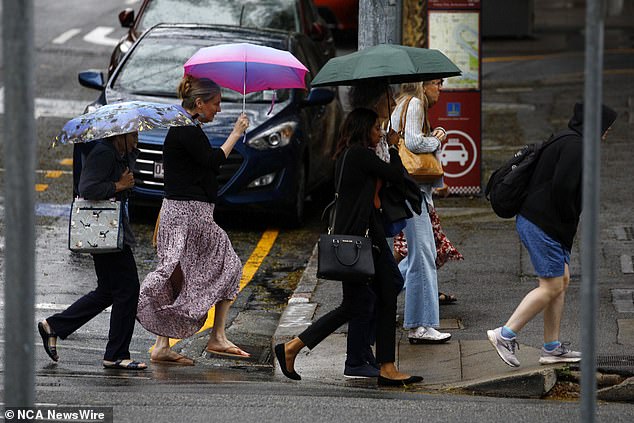
Sydney, Canberra, Melbourne and Brisbane are all set for possible thunderstorms on Wednesday
Canberra
Australia’s capital has already received large amounts of rain from the systems, with Canberra recording its highest daily rainfall in almost four years at 45mm on Tuesday.
“More rain is in store for the city today,” Mr Dutschke said.
“There is a chance of storms and rain today, which will continue through Sunday.”
Wednesday’s storm is expected to dump up to 60mm over the city before partly clearing skies and bringing rain on Thursday.
Temperatures are expected to drop by at least 12 degrees Celsius with 11 degrees forecast through Sunday.
Melbourne
Melbourne is forecast to receive up to 20mm of rain on Wednesday alongside strong winds.
“The rain in Melbourne will continue for much of the day,” Mr Dutschke said.
‘It is likely to clear in most areas in the late afternoon and evening, but there is still a chance of a few showers afterwards.’
Showers are expected over Melbourne until Saturday, with temperatures ranging from 15 to 19 degrees.
It will be slightly warmer on Sunday when skies will be partly clear with a high of 24 degrees Celsius.
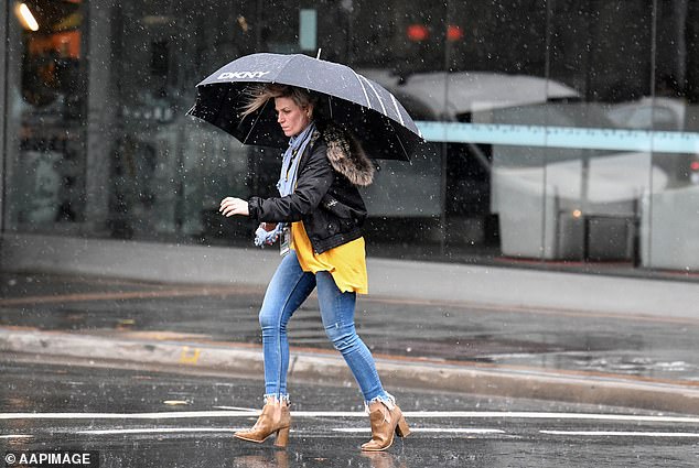
Melbourne will experience rain and strong winds on Wednesday, and rain through Saturday
Brisbane
Possible storms will hit Brisbane on Wednesday and Friday, with a sunny day on Thursday in between.
The system over Brisbane could develop into a severe thunderstorm on Wednesday, with winds reaching 15 to 20 kilometers per hour by mid-day and becoming light in the late evening.
Unfortunately, the weekend doesn’t look much brighter, with showers forecast from Saturday to Monday.
A low-intensity heatwave over far north Queensland is expected to begin creeping along the coastline on Tuesday and is expected to cover its entire stretch on Wednesday.
Some isolated regions may experience severe to extreme heat waves, with the far northeast being hardest hit.
Adelaide
Cloudy conditions will remain over Adelaide until Sunday.
The city has a very small chance of rain this week.
Temperatures will be in the low teens to mid 20s degrees Celsius.
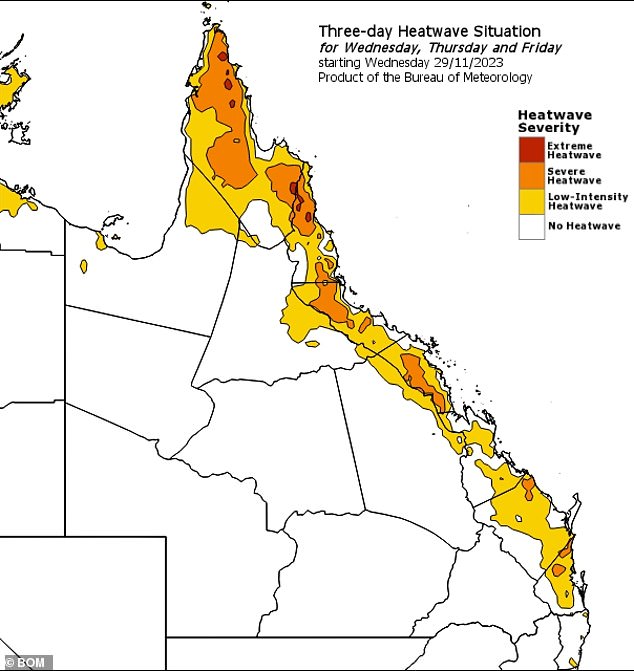
A low to extreme heatwave (above) is expected to affect Queensland’s coastline until Friday
Hobart
Showers with low rainfall amounts are forecast to fall across Hobart until Sunday when skies clear to partly cloudy conditions.
Perth
Perth could see a possible morning shower near the coast on Wednesday.
Light southwesterly winds over the city may reach 15 to 25 km/h in the middle of the day and decrease in the late evening.
Clouds are expected to hang over Perth on Thursday before clearing on Friday and Saturday.
Darwin
Darwin is still in the middle of the wet season, with storms forecast until next week and highs around 30 degrees Celsius.
A low-intensity heatwave is expected to hit the Top End through Friday.
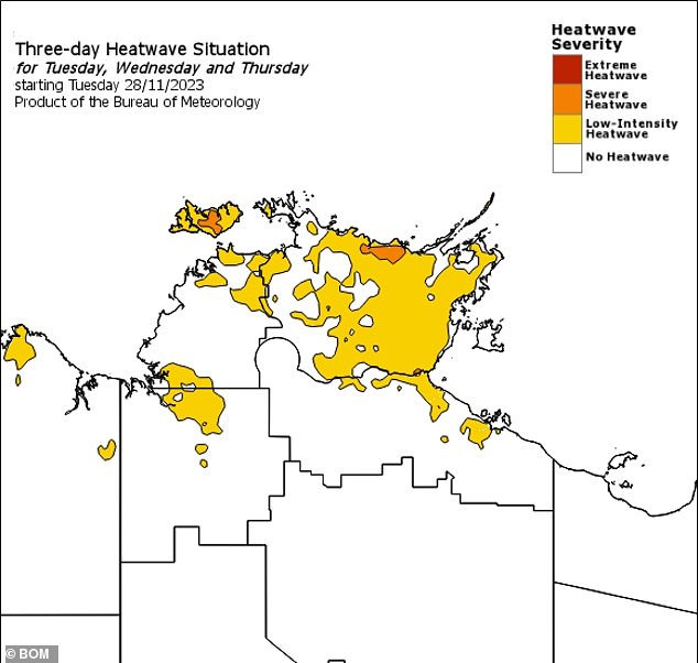
A low-intensity heatwave (above) will linger over the Northern Territory as storms continue in Darwin
